
Tan Hoa Village
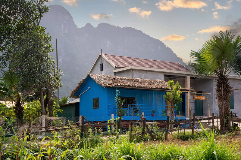
In recent years, Tan Hoa has become a popular destination for both domestic and foreign tourists. The village has financed around 700 floating houses with a new design that can accommodate a family of at least six people and their necessities to survive floods. This serves as the foundation to make Tan Hoa a weather-adaptive tourism village.
Starting from November 2022, the local authorities of the village, in cooperation with the Department of Tourism of Quang Binh Province, have developed a project to turn Tan Hoa into a community tourism village operated by local people themselves. This includes homestays, dining experiences with local dishes, and tours to visit the cultural beauty of the “Nguon” community. The project aims to expand from community involvement tourism, where locals work in tour logistics, to community ownership, where locals are the owners of homestays, dining experiences, etc


.jpg)

.jpg)